Maeslantkering
nathan - March 18, 2024, 8:42 p.m.
tags: biking
It's not technically spring until Wednesday, but nobody told the weather. I had the day off from work, so after hanging out at the cafe in the library for a bit, went off on a ride.
It started a bit grey, but the sky cleared up pretty quickly after I got going.
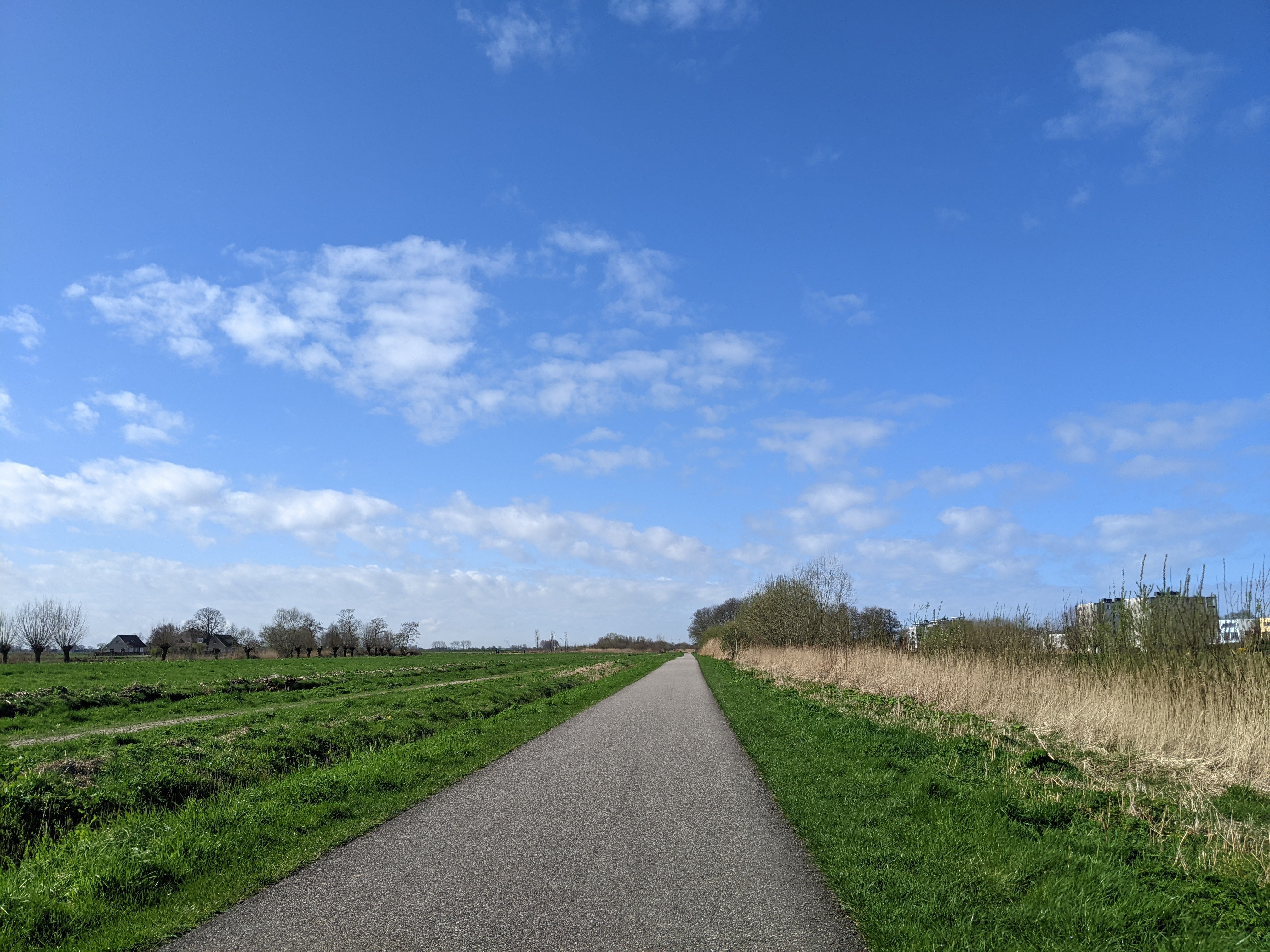
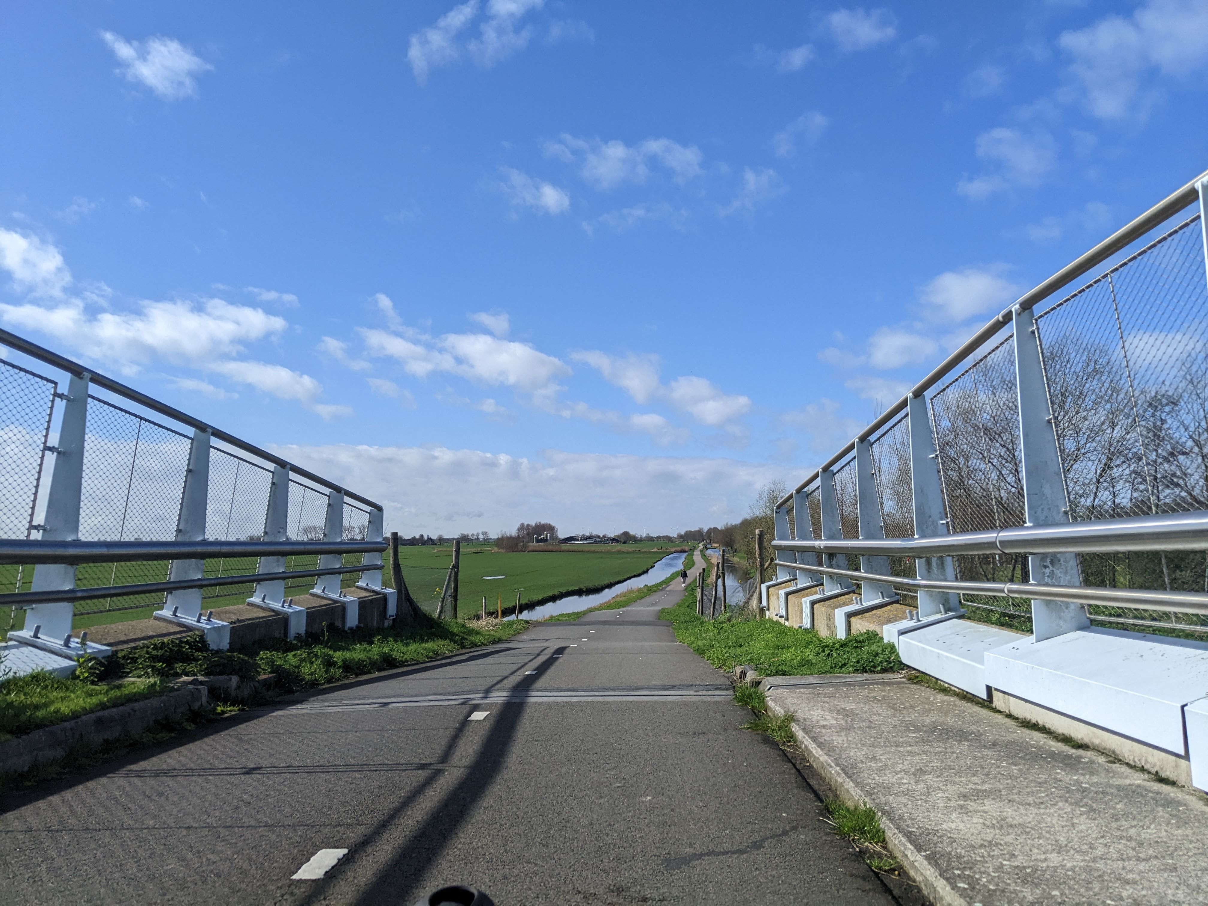
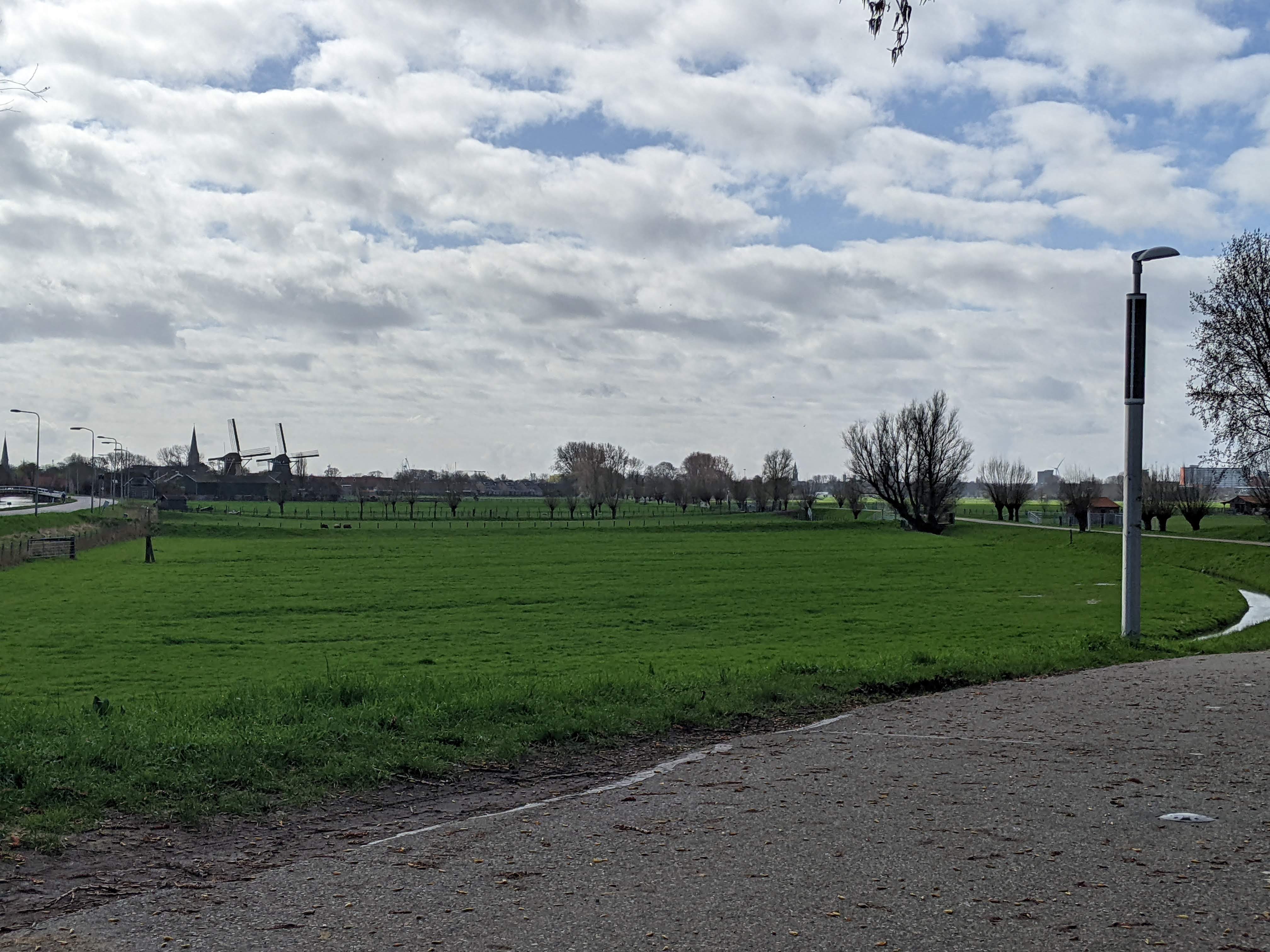
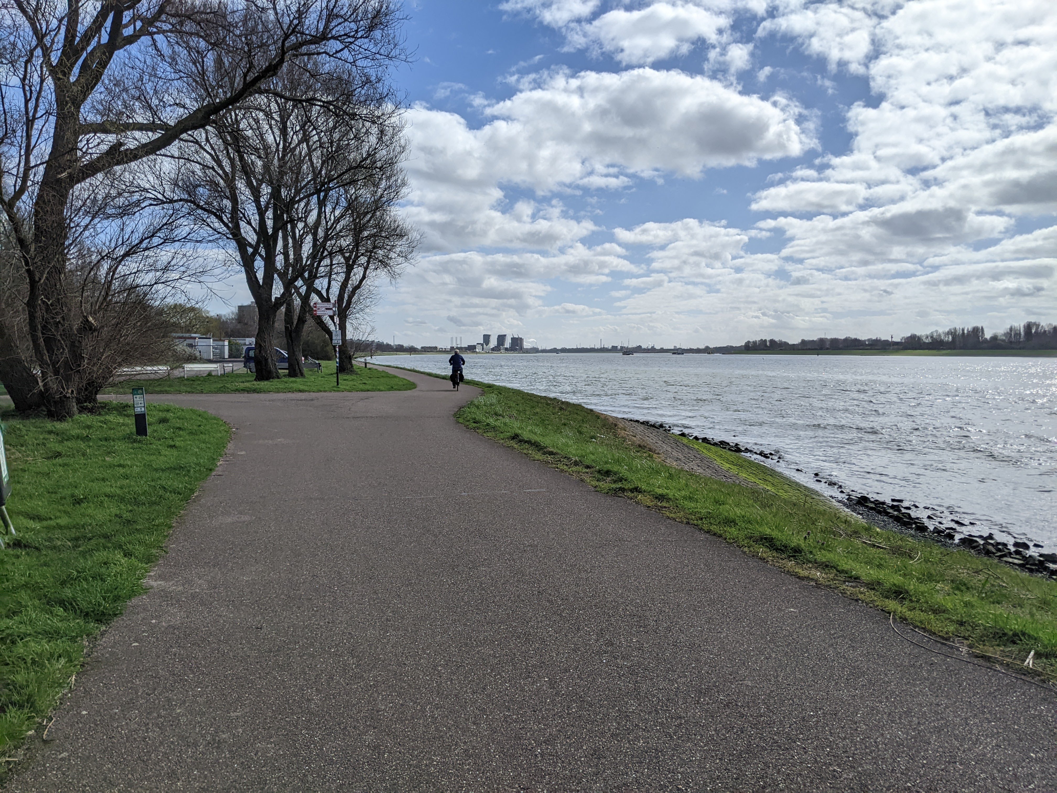
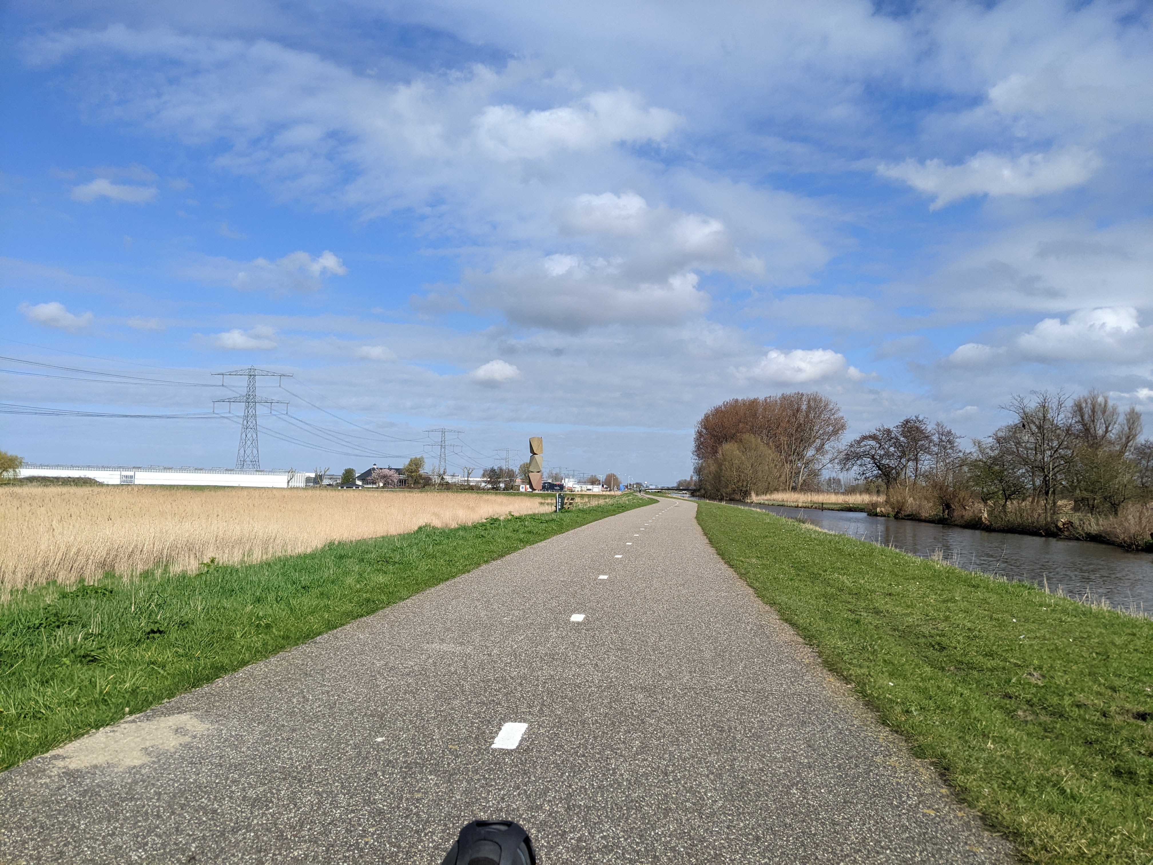
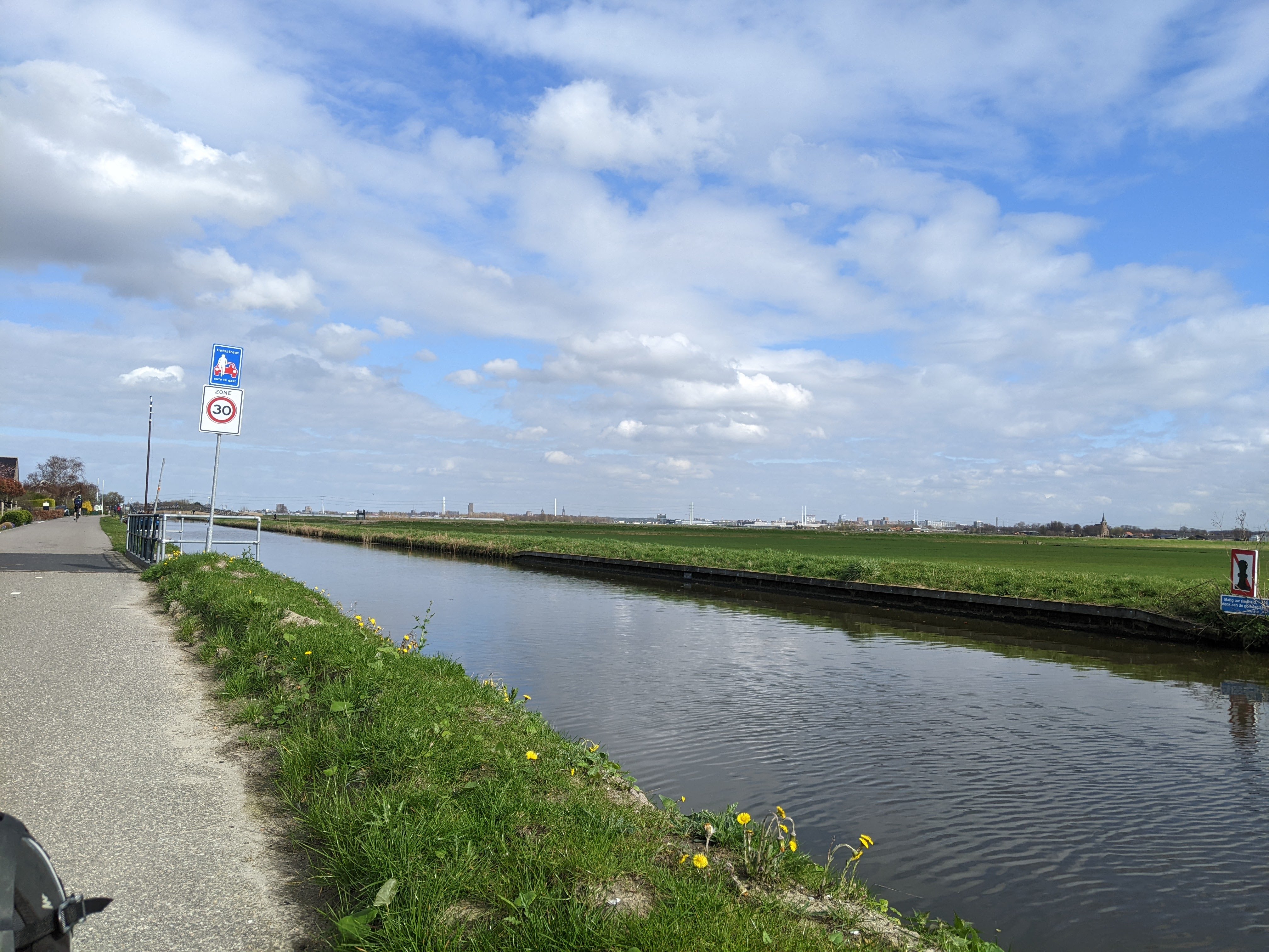
I started by taking the fietspad toward Maassluis, over bridges...
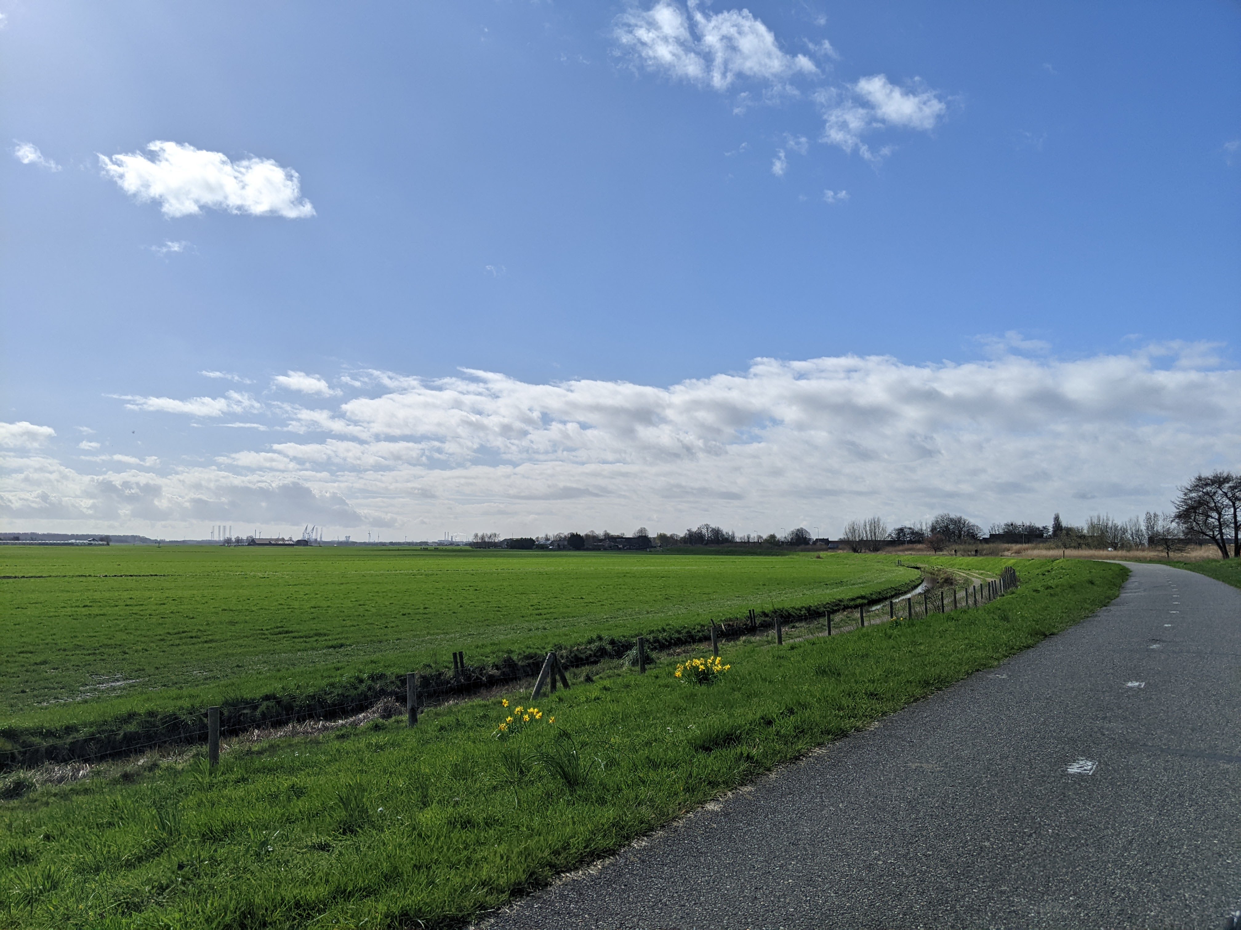
and past polders. You can see the cranes from the port in the distance.
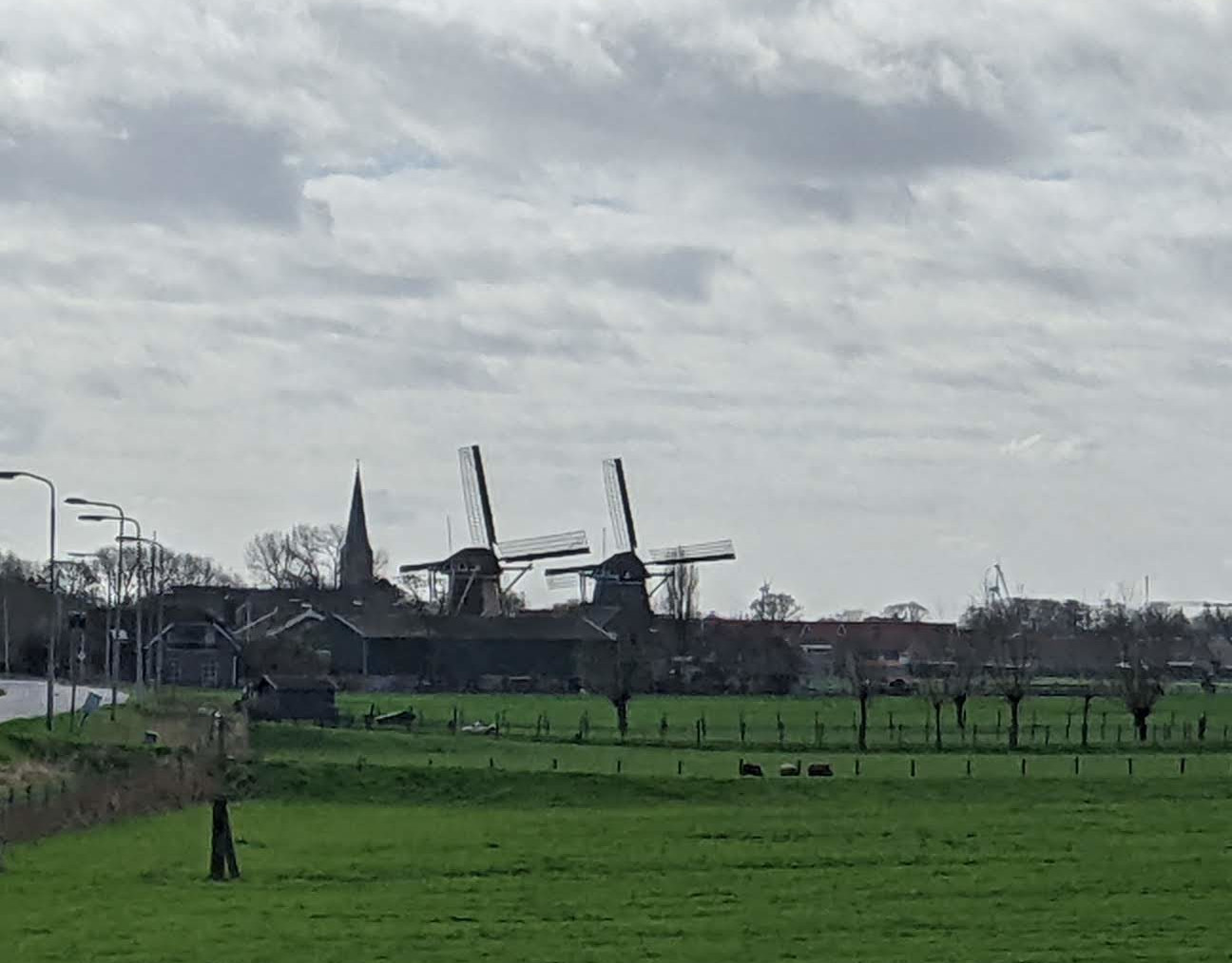
Also, windmills.
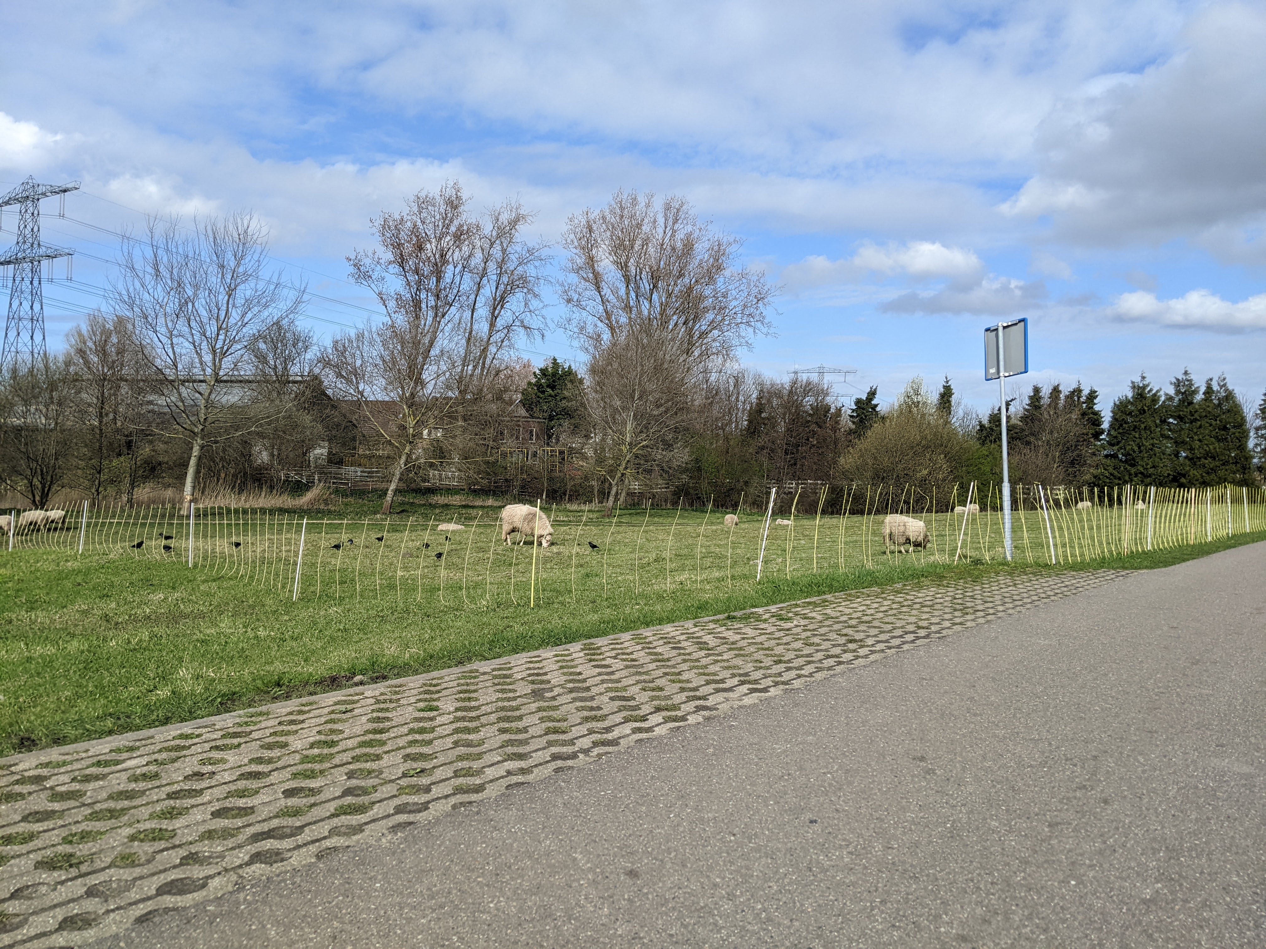
Wait, those windmills are next to a church. And there are sheep in the foreground. And there's a bike path and a ditch with water in it. Sometimes the Netherlands just leans into the stereotypes.
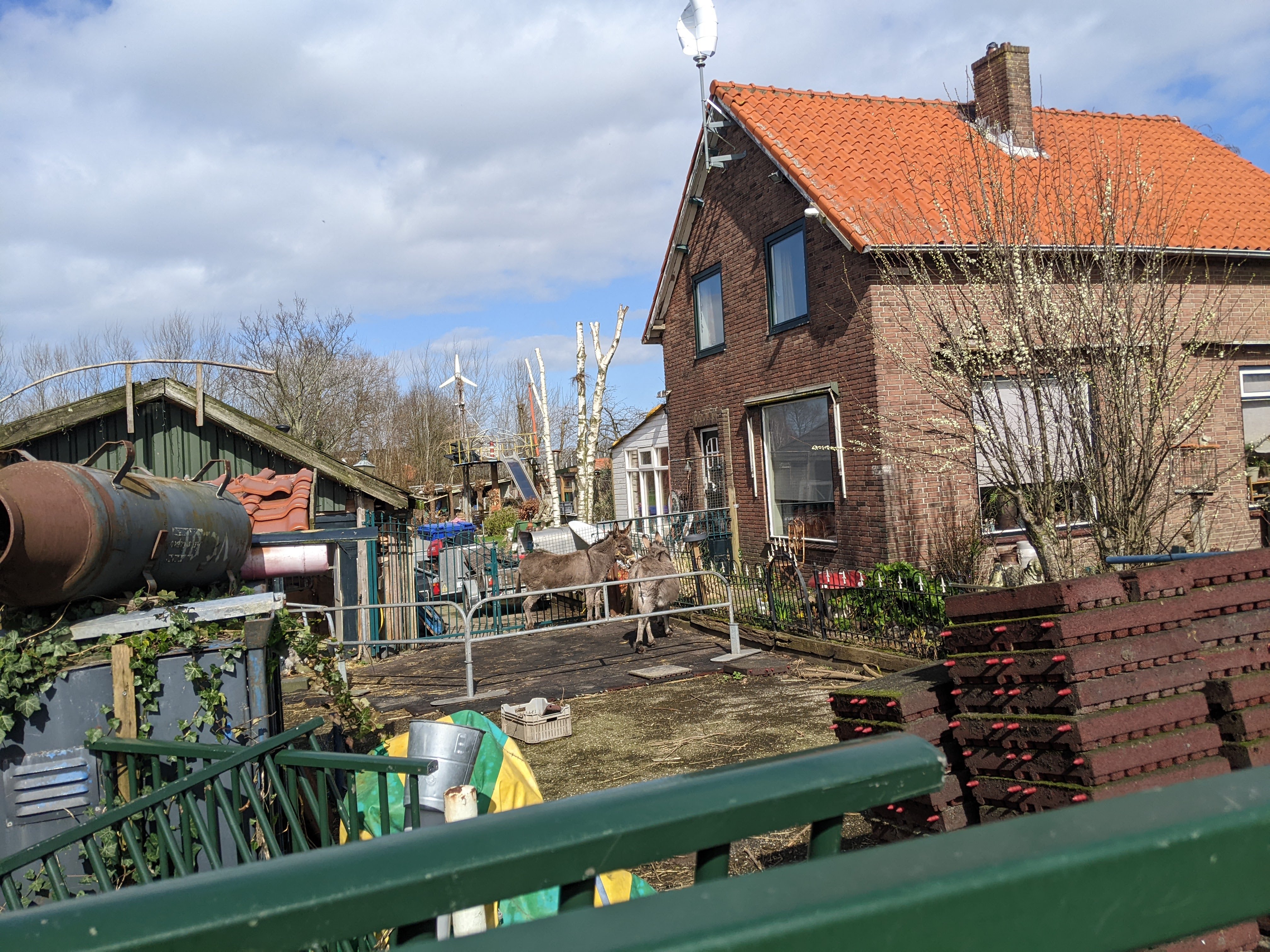
There were a few farms with various critters at them. Here are some donkeys.
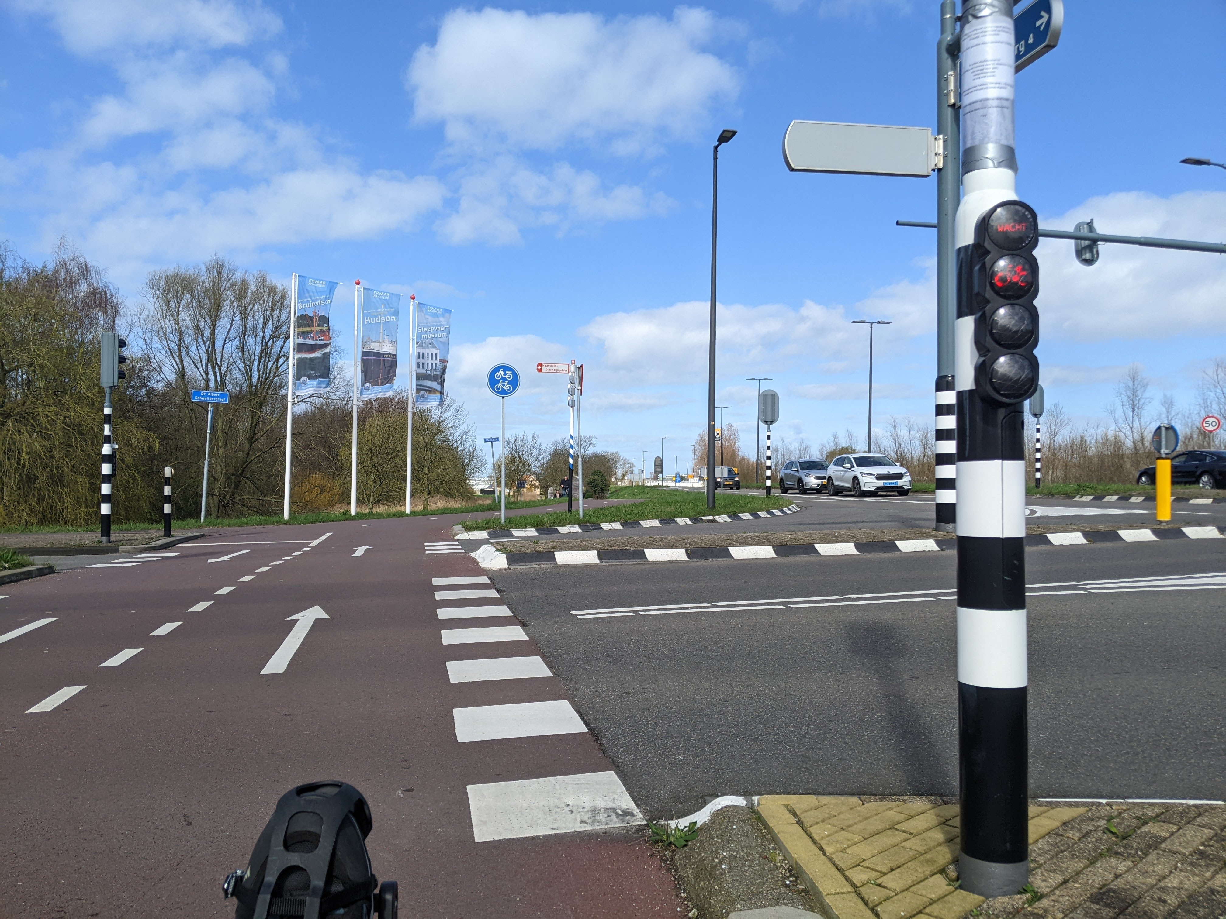
Of course, it can't be all polders and windmills and canals. At one point I actually had to wait for cars to go by. Of course, I had my own cycle in the light so nobody hit me.
As I was approaching the river, a train went by and somehow I caught a video of it.
Anyway, I finally got to the Maas. This is towards Rotterdam:
And this is towards the North Sea.
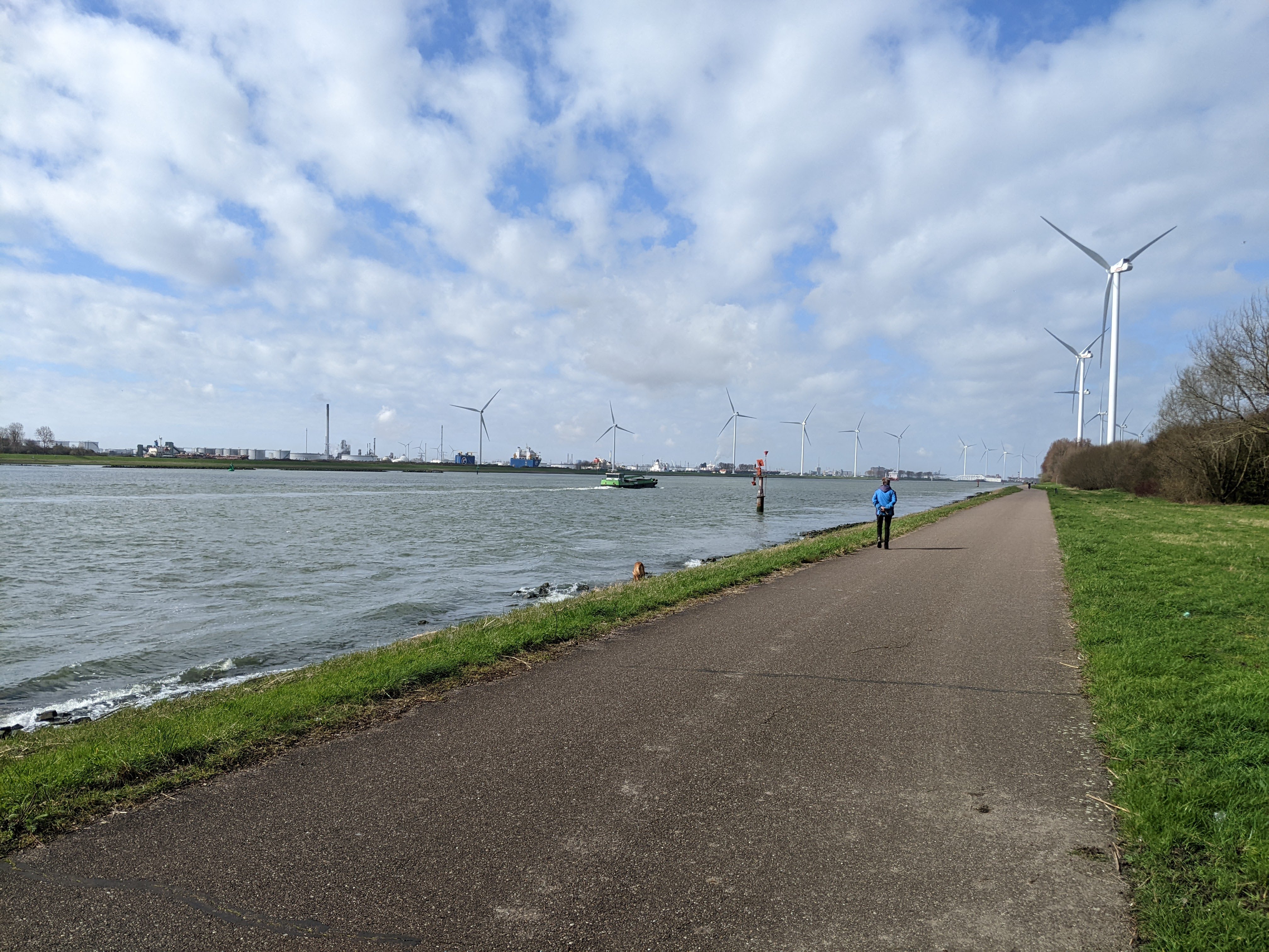
Those wind turbines are a lot less quaint than old windmills, but a lot more impressive close up.
I followed the Maas downstream, and eventually came to this monstrous structure.
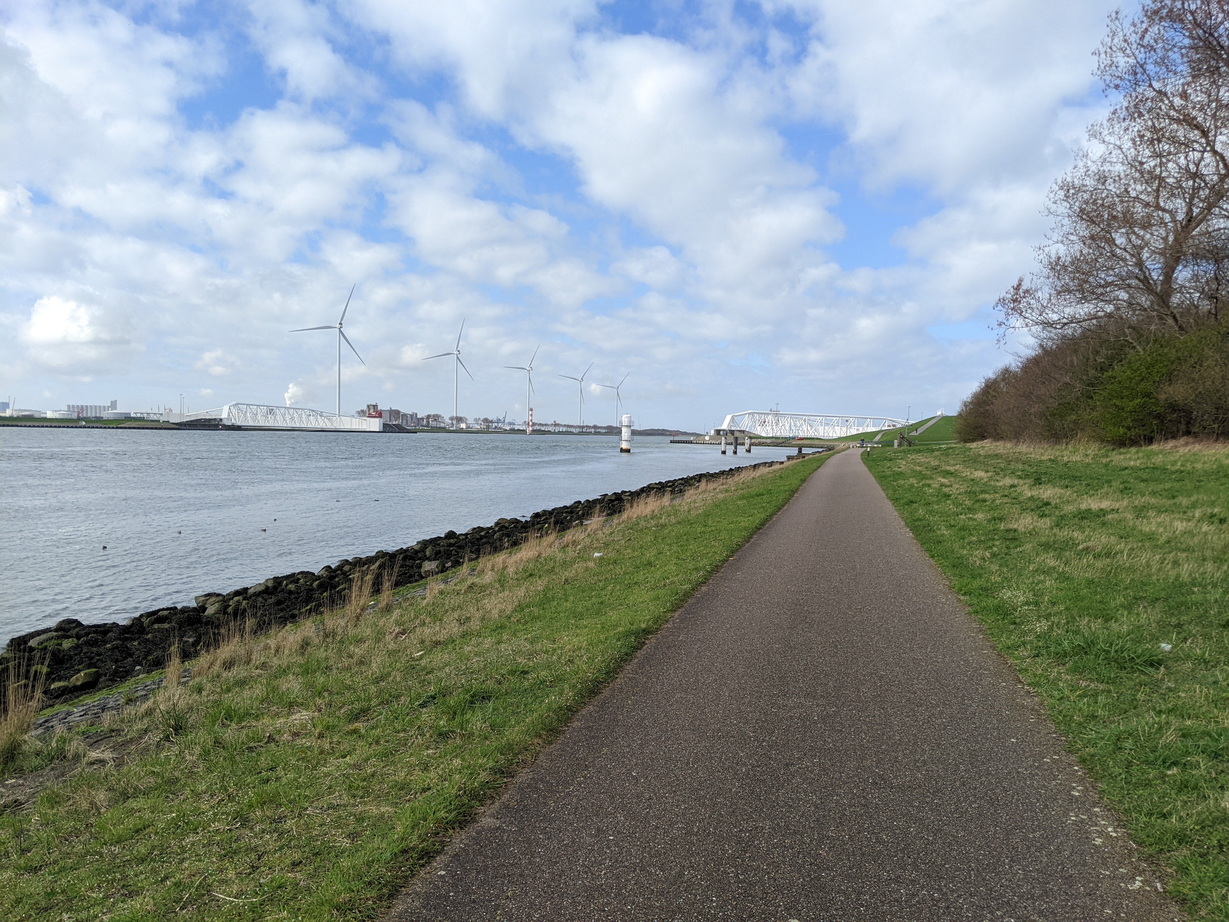
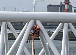
So I rode up to the top of that hill on the right, and took this picture:
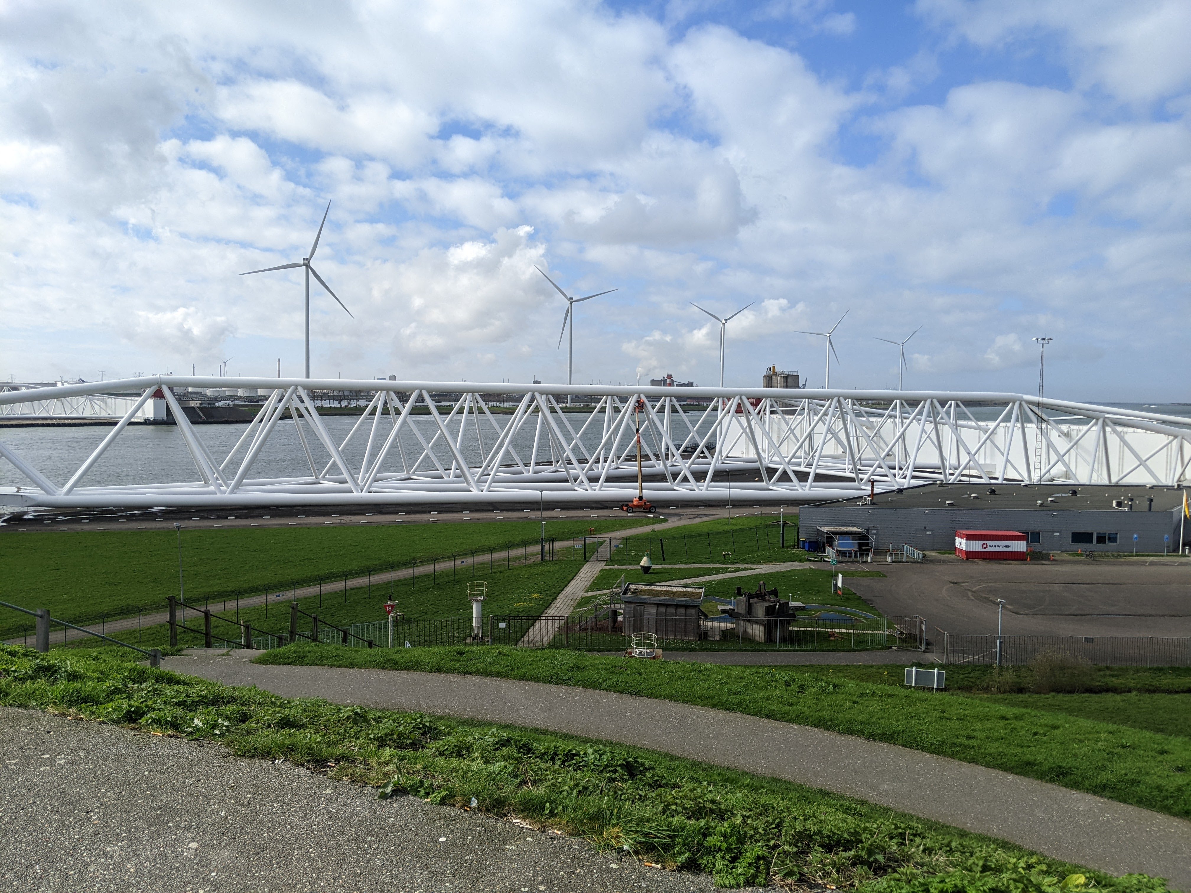
Just for a sense of scale, there are 2 people in that cherry picker.
After that, I headed to Hoek van Holland which, once I got past the international port stuff, looks like a pretty normal Dutch town.
So I set my phone to navigate me home.
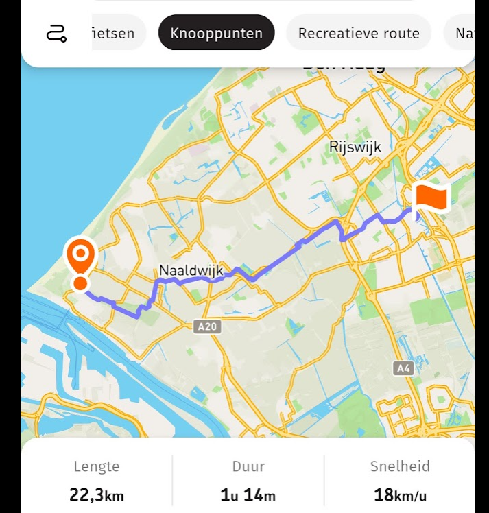
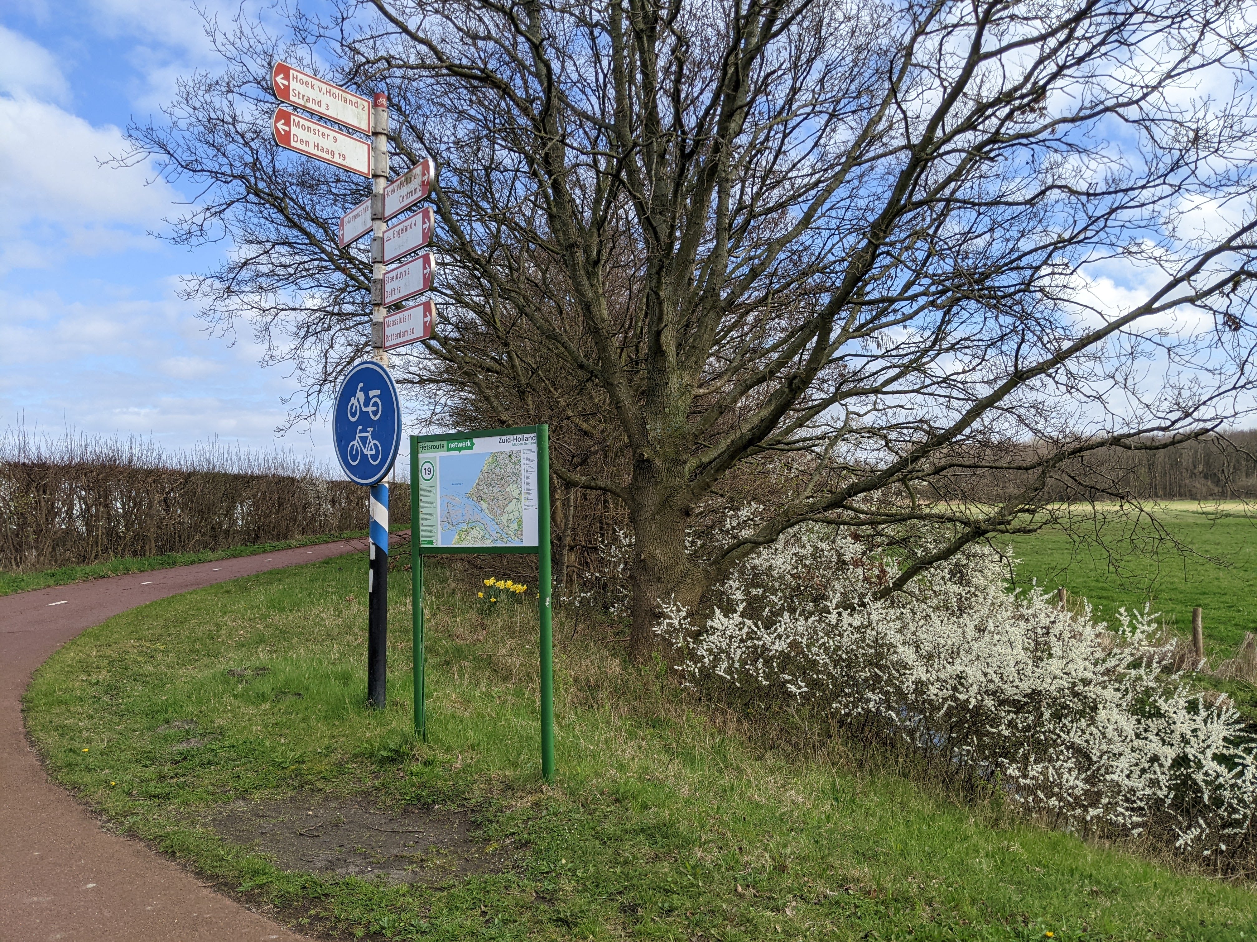
The knooppunten made nagivating pretty easy. I'd just look at the next 2 or 3 numbers when I stopped and could keep the screen off most of the time.
I actually stuck my phone in my bag and managed to charge it back up to around 65%. However, I may have deviated slightly from the prescribed route.
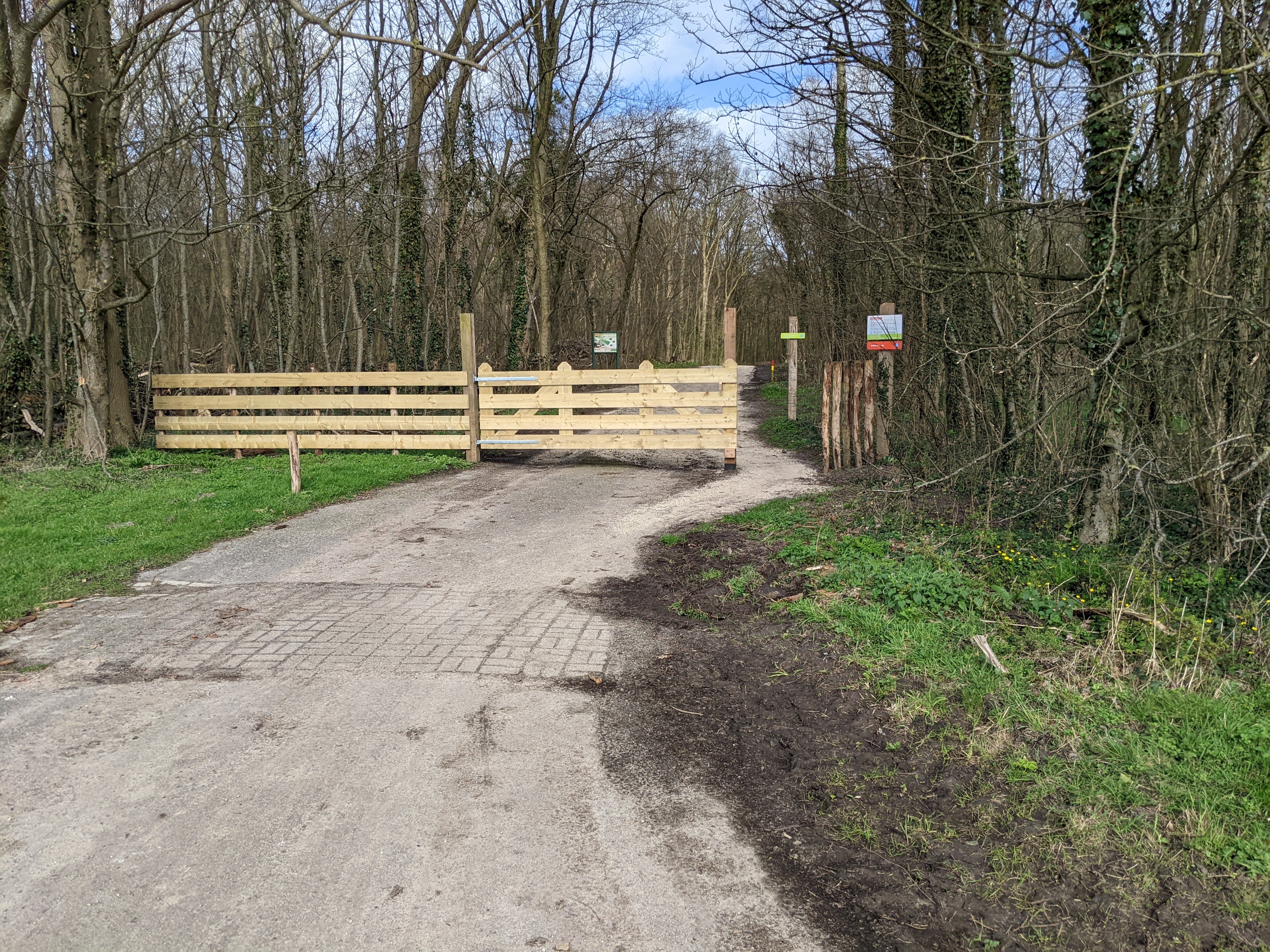
My phone totally did tell me to take that path though. There were even signs and stuff.
Eventually, I got to this neighborhood with a church surrounded by houses.
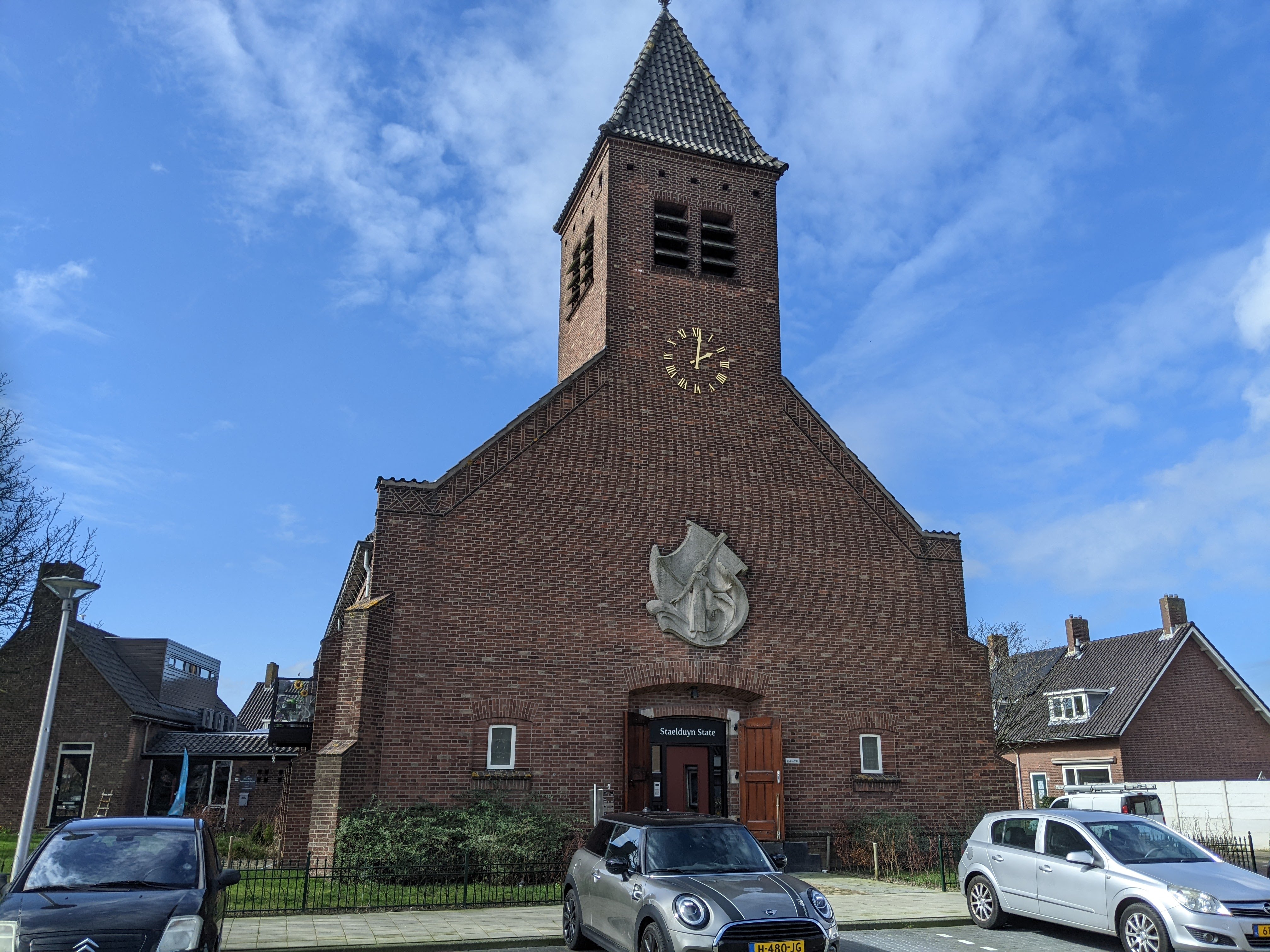
It felt weird. I'm used to seeing shops and public squares and whatnot near churches.
Later, I passed a school right as it was letting out. I didn't take any pictures of the large packs of children (because that would be weird) but they were large packs of children on bikes. It was interesting how quickly they dissipated as we passed cross streets and they peeled off to head home.
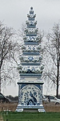
A fun thing they have here is roadside sculptures. There's another one of a giant tulip vase in Delft, though somehow I can't find a picture of it. (edit: here it is) This one had a bird perched atop it.
Eventually, I got back to a point where I could see Delft in the distance. You can just barely make out the 2 church towers in the center of the picture.
And of course there were sheep
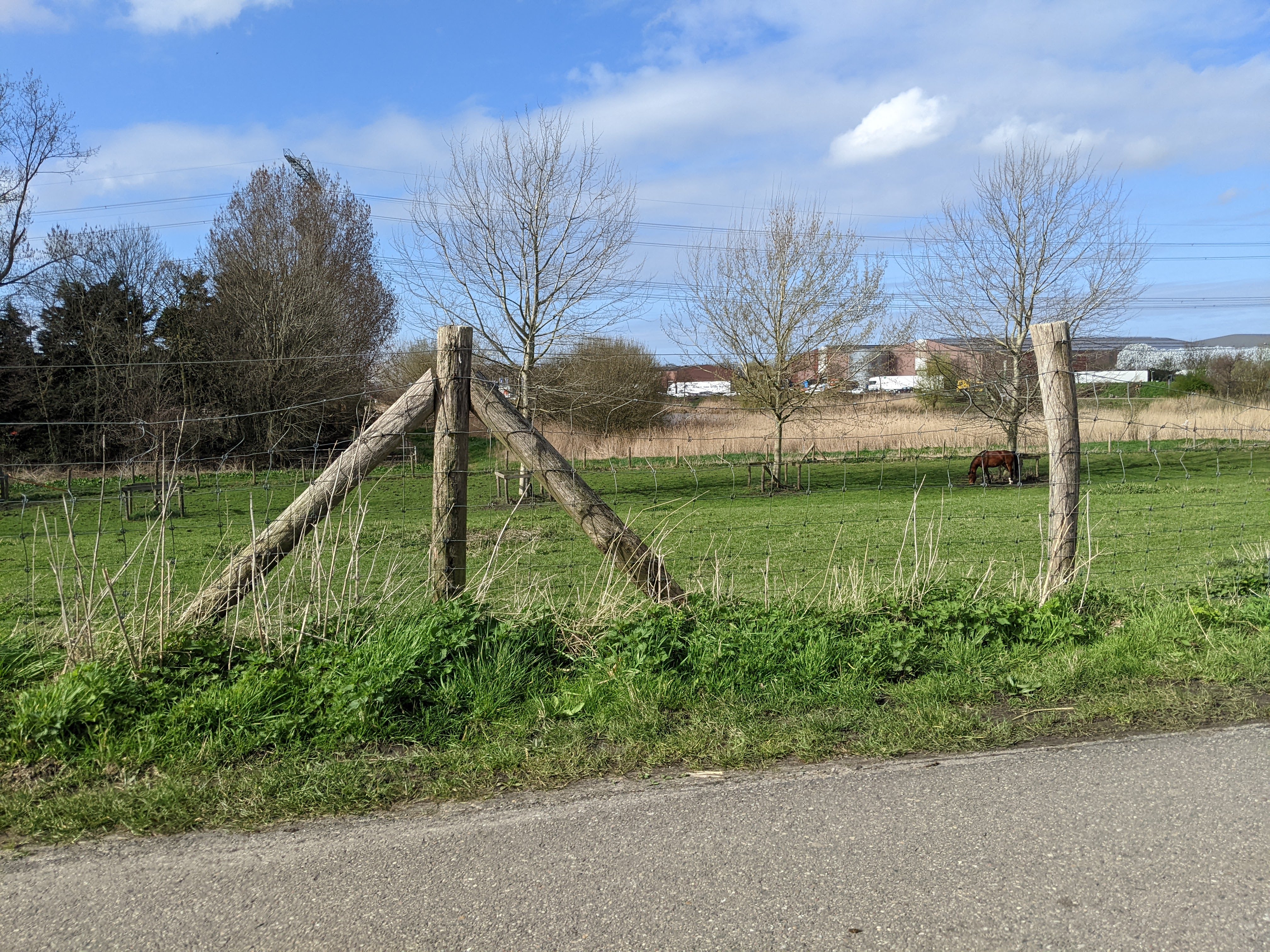
and horses.
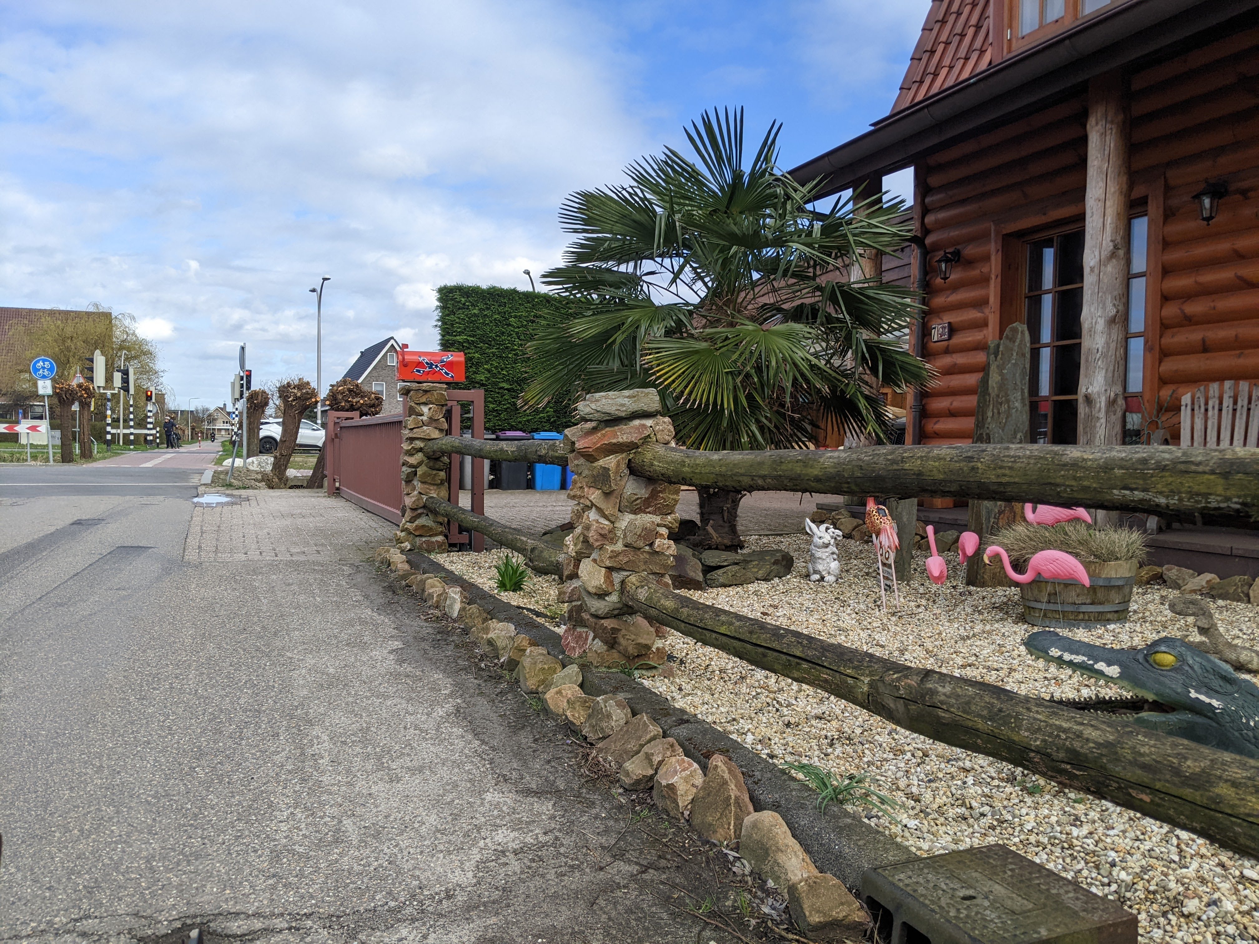
And confederate flags?
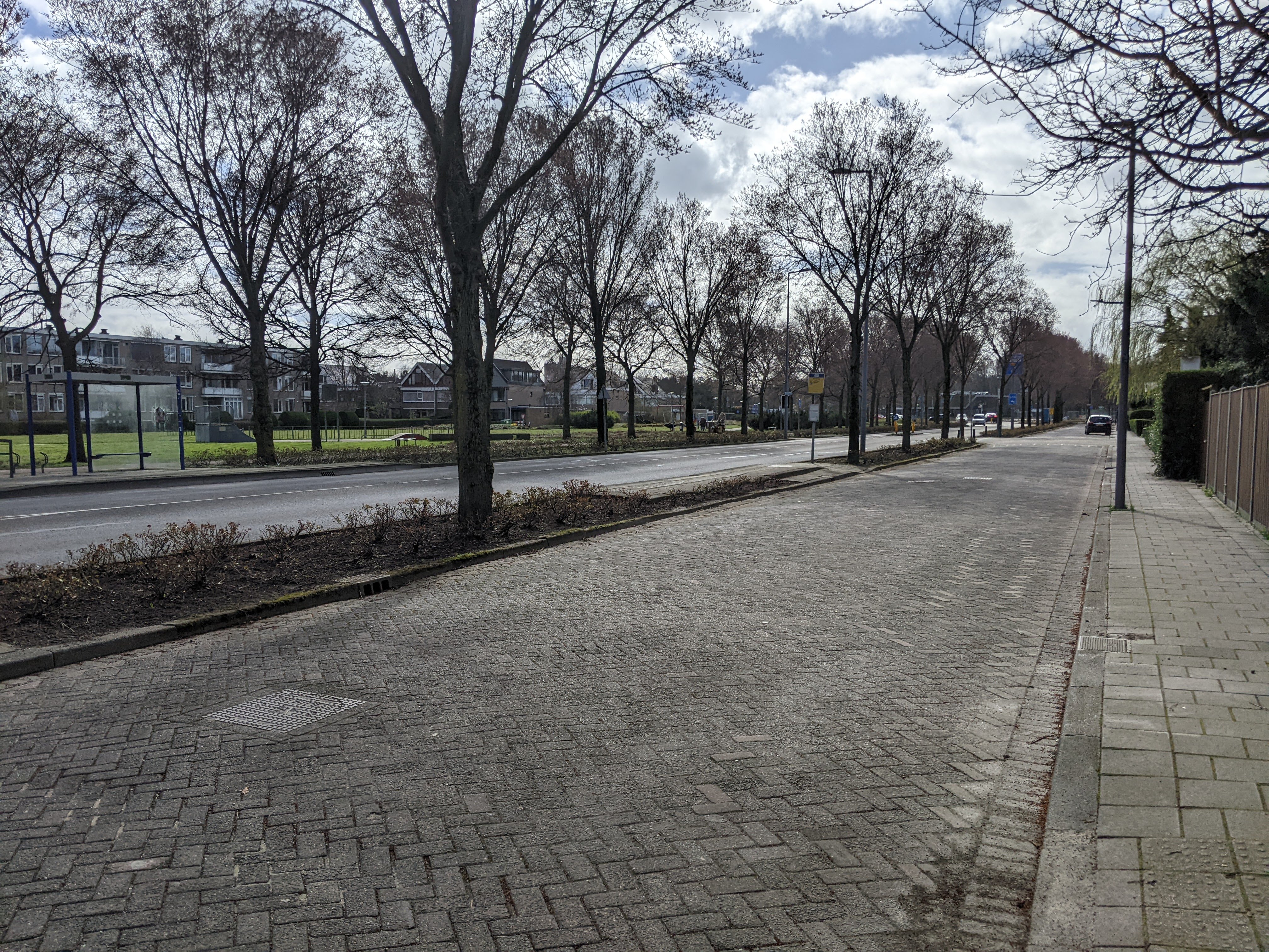
Anyway, made it back to Delft without anything else eventful. There are a few places where the trees are really starting to bloom. This isn't one of them.
And here are some stats, as reported by my phone's GPS:
Max speed: 38.3 km/h
Average speed: 18.2 km/h
Total distance: 55.3 km
while the bike computer says my average speed was 17.7 km/h, total distance 54.68 km, and max speed 36.0.
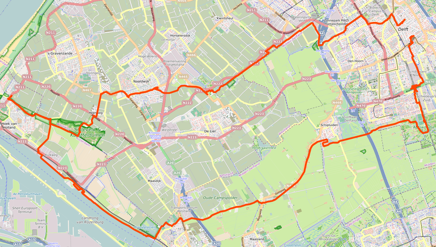
And a map: